MeetMyMap
Made slowly in the Pacific Northwest.
We're a small studio that turns real places into 3D maps you can hold. Not posters. Not souvenirs. Objects built to stay in the room.
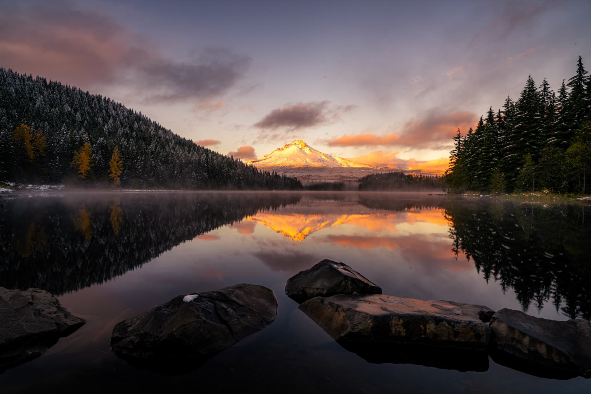
Backdrop · Mount Rainier, WA
A note from the studio
Most of us carry places in our pockets: photos, pins, a camera roll we’ll never delete. The street you grew up on. The coast from your wedding trip. The view from a window you’ll never have again. They live there, safe and invisible, until you scroll past them and remember.
MeetMyMap started when we wanted those places somewhere else: on a desk, on the wall, on the coffee table, in the room where you actually live. Not as a picture of a place, but as the place itself: the ridges, the streets, the shoreline, and the way it actually felt to stand there.
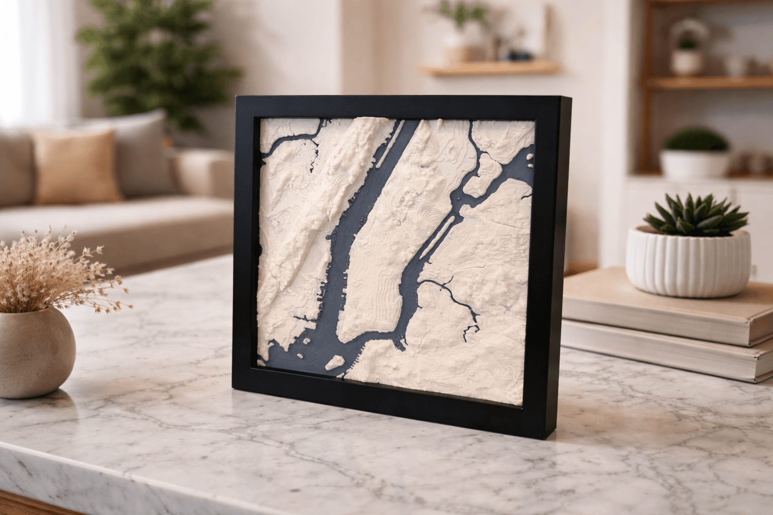
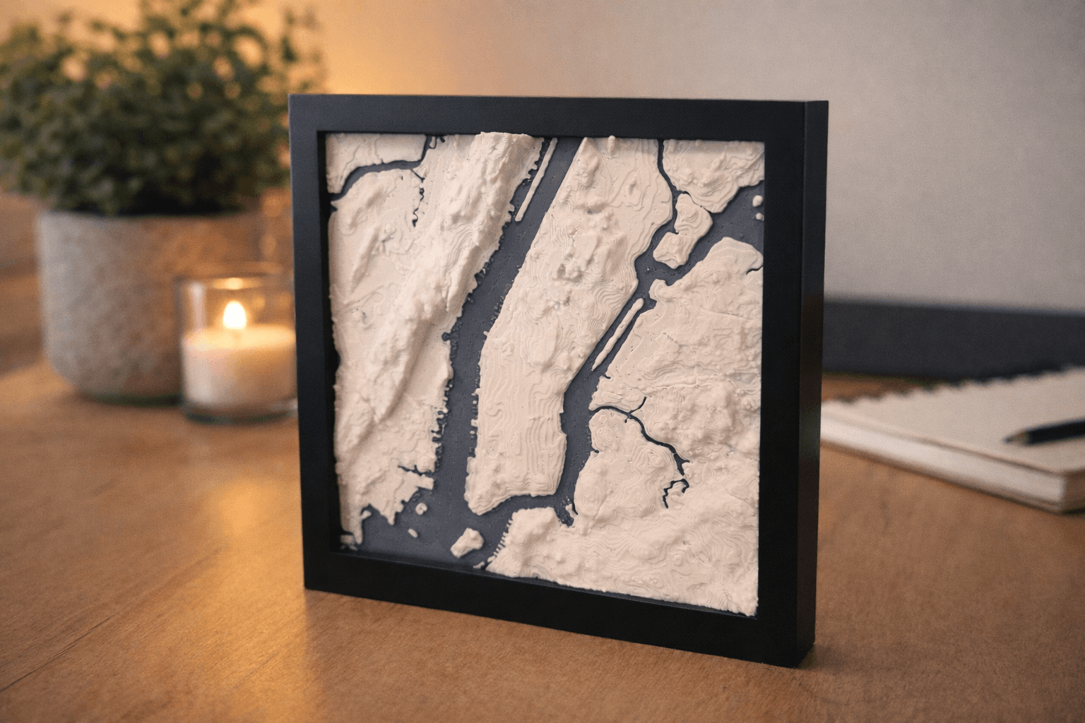
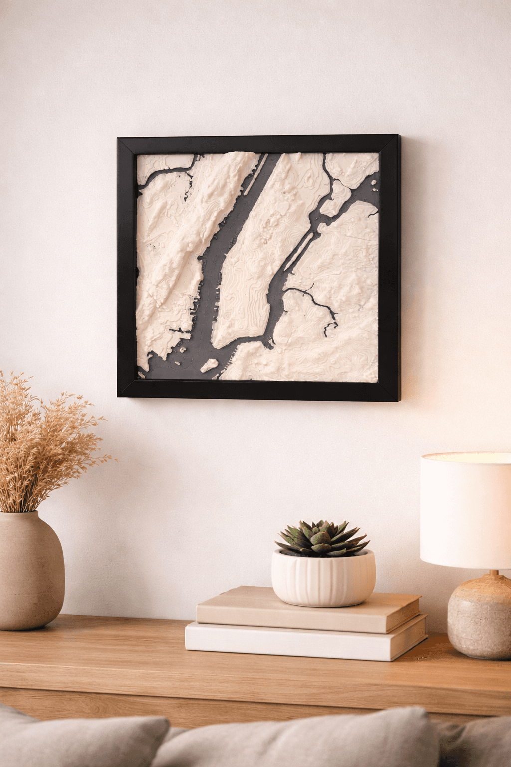
Every one of our maps begins with emotion. A memory, a story, a feeling. From there, we add real elevation data and colors pulled from satellite imagery of your exact coordinates, then turn it into a 3D model we can print.
Each map takes up to forty-eight hours, because we print slowly. Layer by layer. Then we frame it, inscribe it with your words, and check it before it leaves. Nothing waits in a warehouse. Nothing is pulled from a shelf.
We built this for people who keep things: a gift for someone who moved away, a marker for a place that doesn’t need an occasion, an object that still means something ten years from now.
Most maps exist to tell you where you are going. We wanted one that remembers where you've been.
What we believe
Three things we won't bend on.
A map you keep for decades has to be honest from the ground up. These are the promises behind every piece we make.
The ground comes first
Real elevation. Real coastlines. The streets you actually walked. If it’s your mountain, it should rise like your mountain, every ridge and valley exactly where nature put it.
One at a time
Nothing exists until you ask for it. Your map starts printing the day you order, so the day it leaves the bed is the day it became yours, and no one else’s.
Honest about what it is
Matte filament and a warm, wood-effect frame, made with care and named without spin. We’d rather tell you exactly what it is than dress it up as something it isn’t.
What we're not
Not every map is built this way.
Plenty of things get called map art. Here's the company we don't keep.
- Not a flat poster pretending to be a place.
- Not a print run of ten thousand, waiting on a warehouse shelf.
- Not a mystery material we’d rather you didn’t ask about.
Want to watch a piece come together, from the first pin to the final layer? That story lives on the homepage. This page is the why behind it.
Ready when you are.
Start with a location. Preview your exact piece in 3D before you pay. We'll take it from there.
Find your place →See how a map gets made